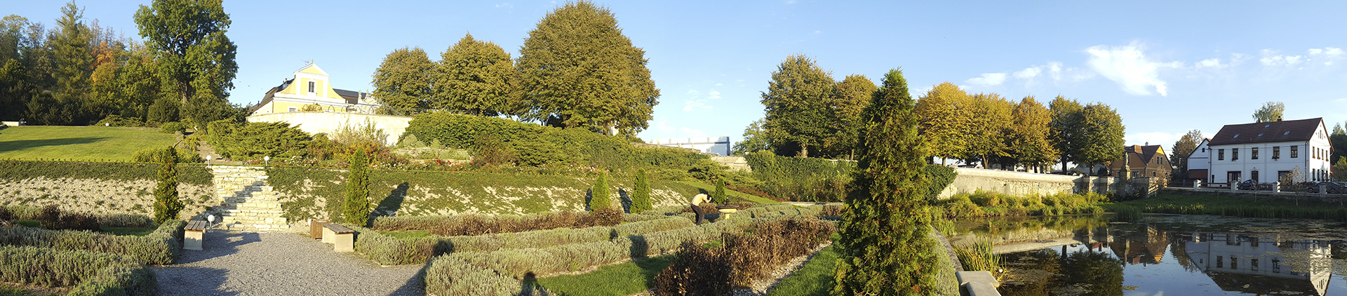
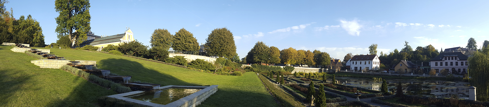
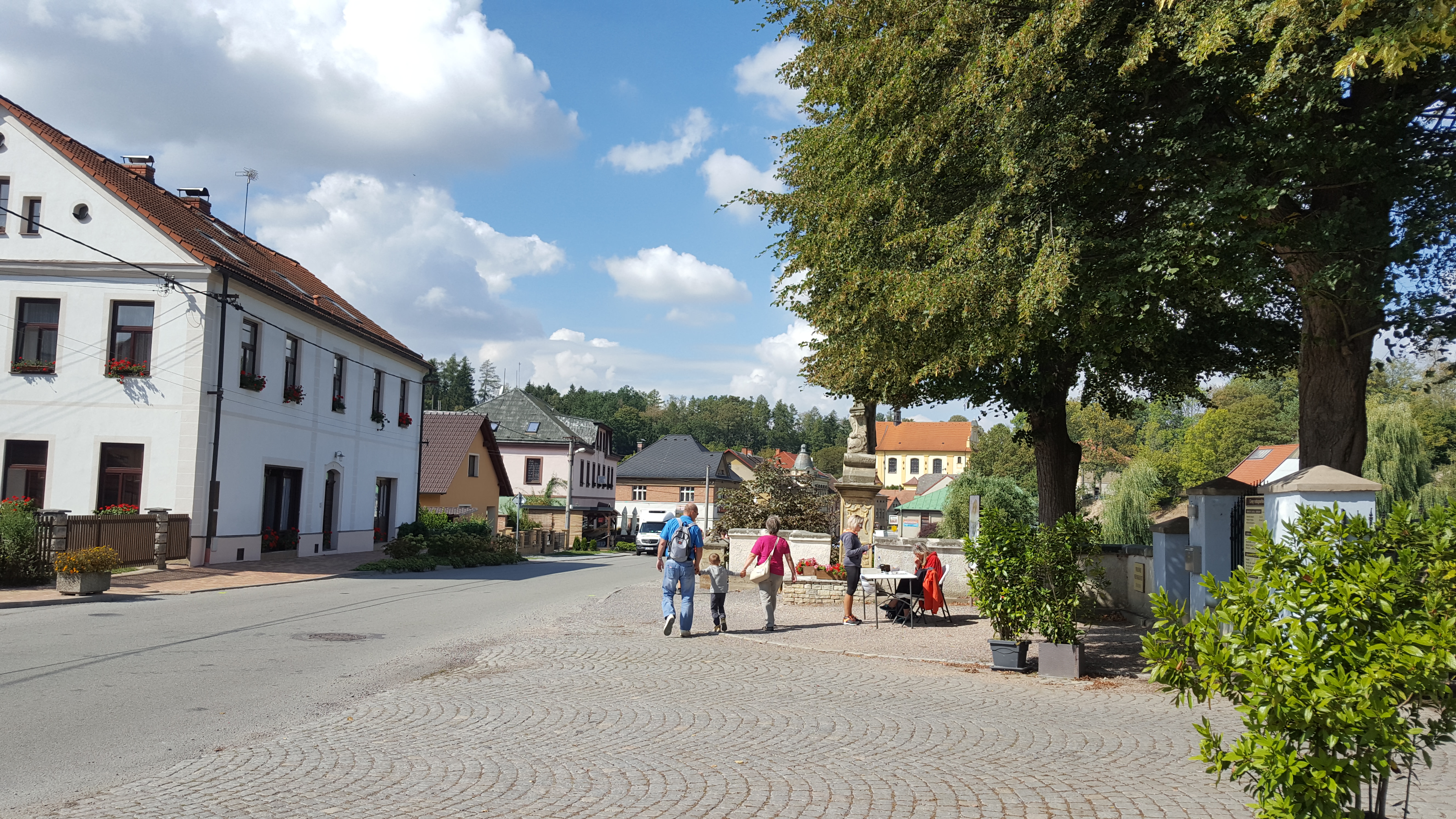
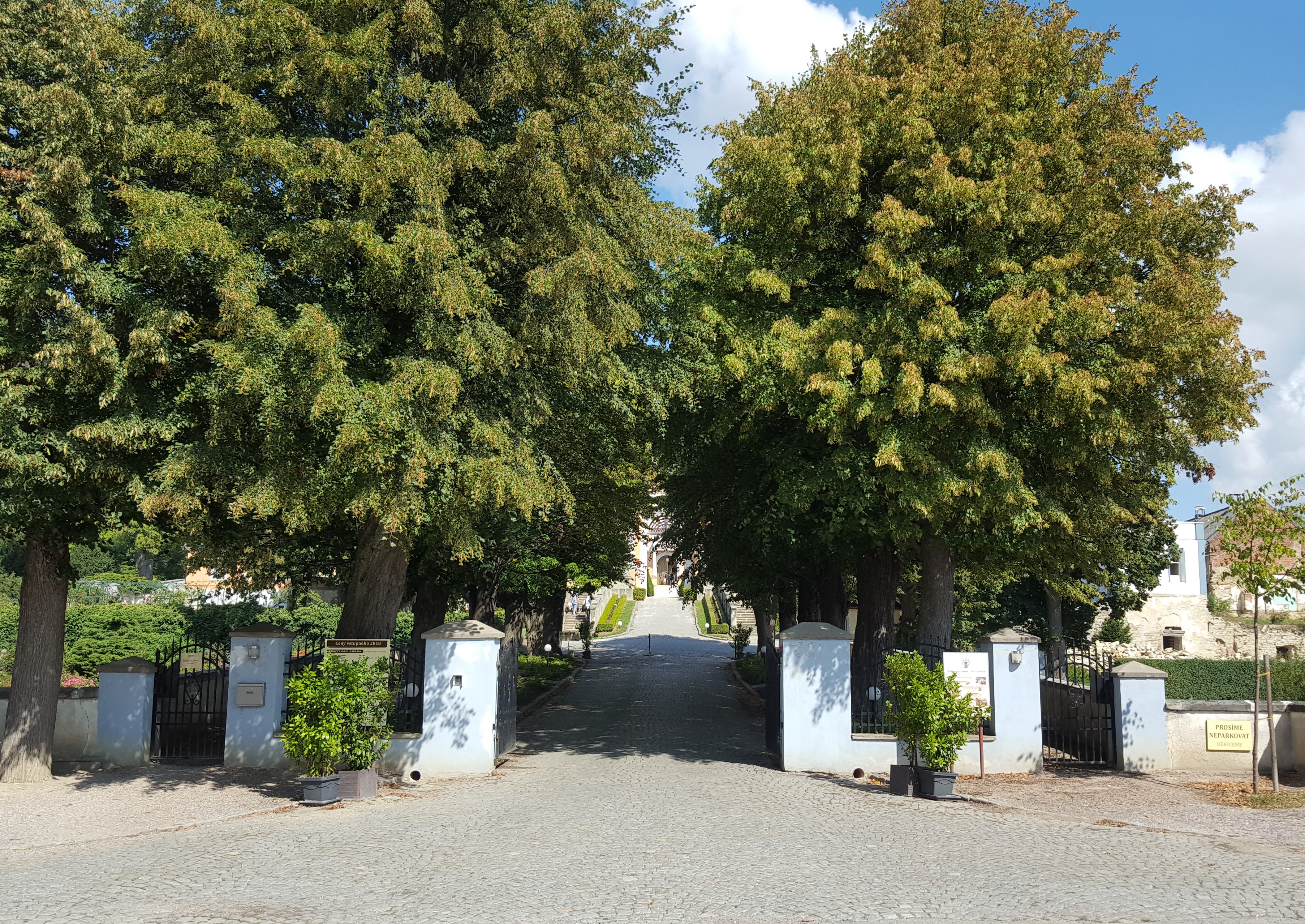
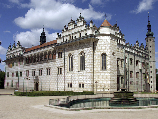
Panorama - zámek, apartmán, rybník Panorama - zámek, apartmán, rybník Panorama - zámek, apartmán, rybník Panorama - zámek, apartmán, rybník Panorama - zámek, apartmán, rybník Panorama - zámek, apartmán, rybník Panorama - zámek, apartmán, rybník Panorama - zámek, apartmán, rybník Panorama - zámek, apartmán, rybník Panorama - zámek, apartmán, rybník Panorama - zámek, apartmán, rybník Panorama - zámek, apartmán, rybník
×

Locality

The village Nové Hrady is located in the valley of the river Novohradka between the towns of Litomyšl, Vysoké Mýto and Skuteč. It has only 300 inhabitants, but is known for its Rococo castle, which is its dominant feature. The apartment is in a convenient location in the middle of the village directly opposite the castle Nové Hrady.

Tips for trips

Litomyšl Castle

Litomyšl Castle

~ 14 km Find on map:

Renaissance castle from the 16th century is known for its sgraffito decoration with letters or figurative motifs. In 1999, it was listed on the UNESCO World Heritage List. In addition to other events, the Smetanova Litomyšl Music Festival is regularly held here since 1949.

Monastery gardens

The town of Litomyšl

~ 14 km Find on map:

In addition to the well-known castle, it offers many other sights and modern architecture buildings (revitalization and projects by Josef Pleskot). Litomyšl is therefore often referred to as a "modern historic city".

Toulovcovy maštale

Toulovcovy maštale

~ 5 km to Bor u Skutče Find on map:

Toulovcovy maštale is natural area of pine forests and sandstone formations of Budislavské skály. It is situated between Proseč, Budislav and Nové Hrady. The region offers 150 km of cycle paths and hiking trails. Many hiking trails begin in a nearby village Bor u Skutče.

Litomyšlská brána

The town of Vysoké Mýto

~ 15 km Find on map:

The town was founded by King Přemysl Otakar II. in the middle of the 13th century as one of the mercantile centers on the main connecting road from Bohemia to Moravia. To this day a layout of the city with parallel streets originating from a central square, which is one of the largest squares in Bohemia, has been preserved. The historic center of the city has lots of architectural monuments.

Pivnice ravine

Pivnice ravine

~ 5 km Find on map:

A gorgeous but lesser known ravine near Toulovcovy maštale will surprise a lot of visitors. In the first part of the tour, you have to step over fallen trees and jump from stone to stone in the stream. Later, rock formations will begin to appear on both sides of the ravine. Then follows the most interesting part of the trip - climbing up the slippery improvised "ladders" into the narrow rock formations.

Lookout towers

Toulovcova, Terezka and Borůvka lookout towers

~ 5 km, 9 km and 10 km
Find on map:

The Association of Municipalities Toulovcovy Maštale owns and operates three lookout towers. The highest of them, Terezka, can be found in Paseky, part of the town of Proseč. Toulovcova lookout tower lies between the villages of Budislav and Jarošov and the architectually unique Borůvka is situated near the village of Hluboká.

The town of Polička

~ 22 km Find on map:

The royal town of Polička lies in the landscape of the Bohemian-Moravian Highlands. Best sights include over 1220 m long massive stone walls, that encircle the entire historical center of the town, the birthplace of Bohuslav Martinů in the tower of St. Jacob church, the baroque plague column and the town hall. The town of Polička also owns the nearby Svojanov Castle, which is worth a visit.